

Location
Location
 Google Map
 Andros Map
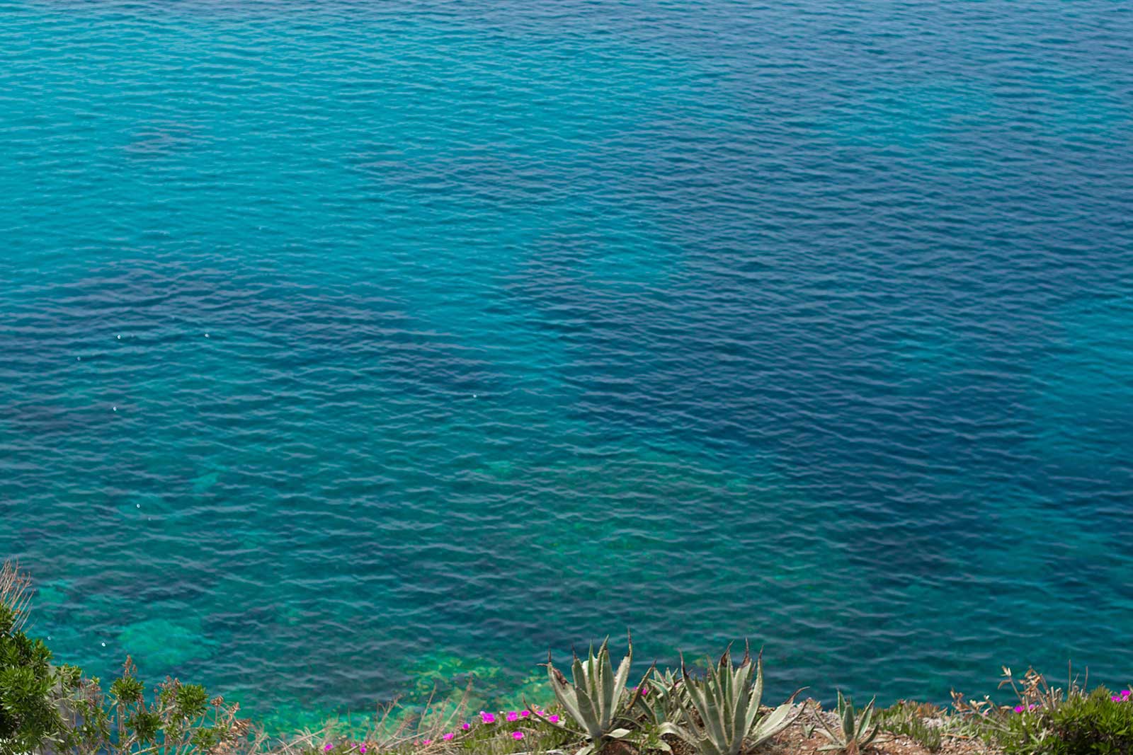
Andros is the most northerly and second largest island of the Cyclades. It has a surface area of 374 square kilometers, a length of 39.8 kilometers and, at the widest point, a width of 16.7 kilometers. The coastline is approximately 110 kilometers. The terrain is relatively level despite its mountainous characteristics. It is divided into five regions, in the direction at right angles to the North West axis of the island, by four mountainous masses. These are: 1. Mount Saranda (725 metres) which faces north from the highlands of Makrotandalos (average height 200 metres) and south from the valleys of Batsi, Ateni and Katakoilos. 2. Mount Petalo (photo 1) the main mountain on the island, with the highest peak of Andros (Kouvara (994 metres), between the previous valleys to the north and the valley of Messaria to the south. 3. Gerakonas (720 metres) between the valleys of Messaria and Korthi. 4. Pachi (681 metres) south of the valley of Korthi and ends at the most southern morphologic area of the island. The island is crossed from the west to the east by four small rivers which run all year round: the Arnipotamos which flows into the bay of Lefka, the Achla which flows into the bay of Achla, the Megalos Potamos which flows into Paraporti beach in Hora and the Dipotamata which flows into the bay of Syneti. There are also another seven streams which flow continuously all year, a total of eleven waterways, nearly all of which shape small aquatic areas at the mouths, with rich vegetation and remarkable aquatic fauna. The coastline of Andros is particularly ragged and therefore creates many small and picturesque bays, nearly all of which are graced with a sandy beach. It is worth mentioning some of the largest bays of the island – Gavrio, Batsi, Hora and Korthion, which have organised harbours, as well as the bay of Fourni, in the northern recess the beach of Agios Petros, which is characterised by Lloyds as a safe haven for boats. The island’s high and craggy mountains with its deep, fertile valleys, the abundant running water, the naked plateaus, the steep coasts and the many small and large beaches, create a continuous contrast in the landscape and give Andros its special character that distinguishes it from all the other islands of the Cyclades. Covering small distances, only a few kilometres, one can find oneself in completely different surroundings. From a dry and windswept region to a wood of chestnuts and arbutus, from a seashore to a verdant valley, from a sun baked beach with deep blue sea to a green, lush gorge, rich with plane trees. The cultivated areas are small and are mostly confined to the valleys between the mountains, protected from the strong winds which blow all over Andros. The good soil and the plentiful water that are found there make the valleys particularly fertile. It was not chance that brought the first tourists to Andros during the 19th century: they came here because of the reputation of the mineral water and its curative powers. Since 1841 Fiedler reports seven springs on Andros which had proven restorative powers. In 1902 an Andros historian D. Paschalis, raised this number to ten and he was the first, together with Professor Christomanos, to carry out chemical analysis on some of these springs from 1884. The most famous spring on the island, Sariza, is found at Apikia, in the centre of village. The beautiful fountain is of unknown date. However, the beneficial qualities of the spring water have been known since long, long ago. The water is diuretic and is believed to cure kidney ailments and stomach problems. Analysis of the water shows that it contains carbon salts of sodium, calcium and magnesium and chloride salts of potassium, sodium, magnesium, aluminium and silicon oxide. The spring water is bottled and is sold all over Andros, as well as the rest of Greece.